

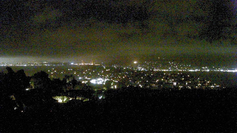
Mt. Diablo Summit

San Ramon Valley – cam
** Click on image – for live streaming
HD video **
Alamo, Danville & Walnut Creek fire webcam


.
Mt. Diablo weather station
Alamo temperature
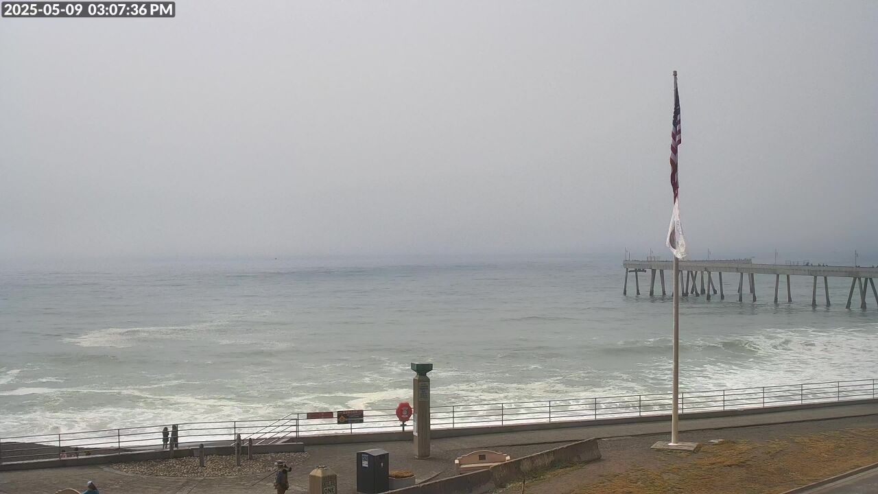
SF Cam 1
Cams 2
Cams 3
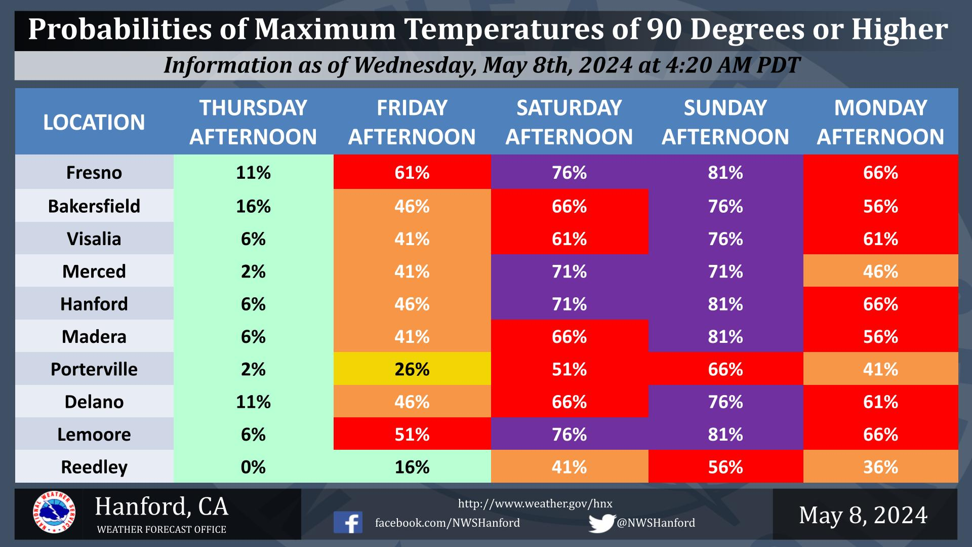
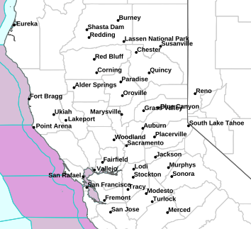
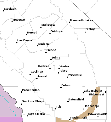
Central Valley Weather
Los Angeles
San Diego


Rain forecast – 6 to 10 day outlook

Fire weather extremes – day 1

Fire weather extremes – day 2

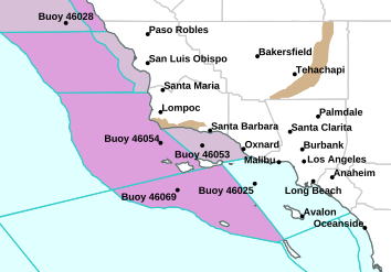
Santa Barbara County Fire weather extremes –
day “3 – 8”
Doug’s Favorite links
Santa Ana
Winds in Southern California
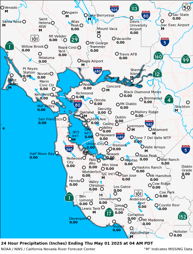
24 Hour
change by elevation in Nor Cal weather
24 Hour
change by elevation in South Cal weather