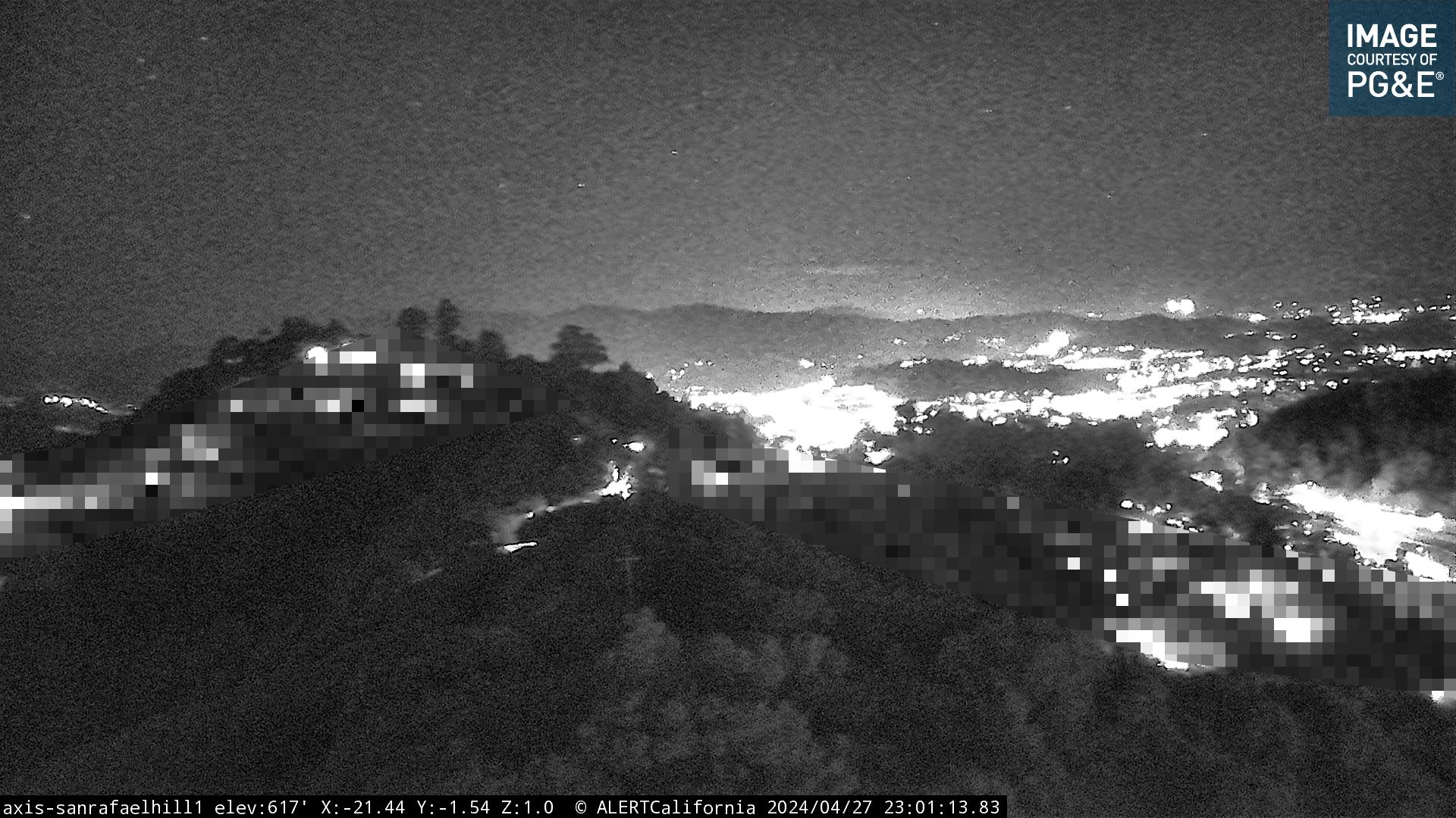
 San Rafael Hill
 San Rafael – San Pedro Ridge
 Novato Hills – Mt. Burdell
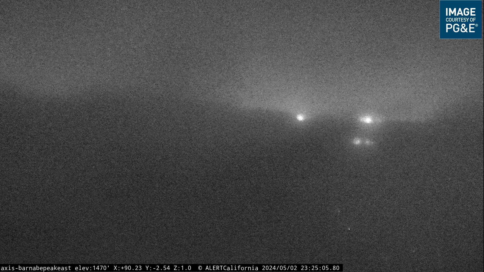 Samual P. Taylor Park – Mt. Barnabe
 Samual P. Taylor Park – Mt. Barnabe
 Nicasio Hills
 Big Rock Ridge
Mt. Tiburon

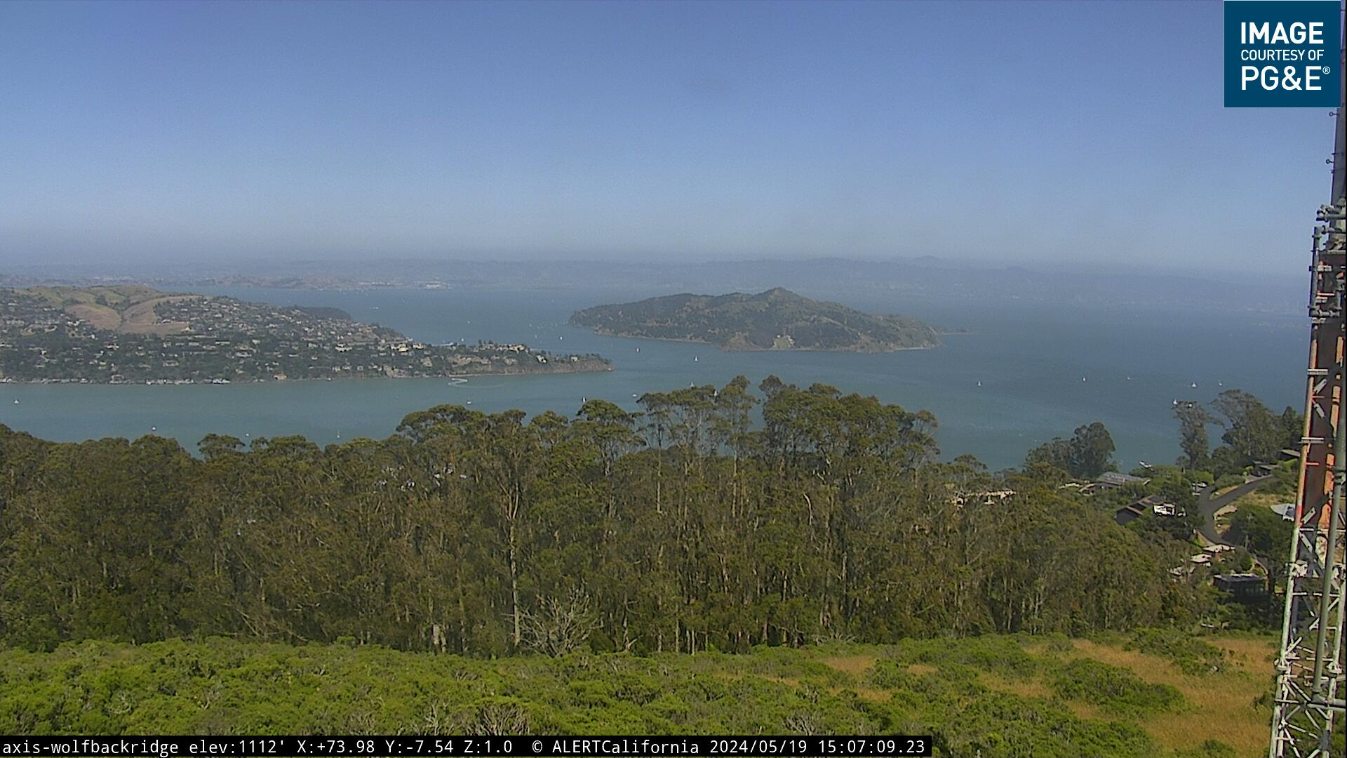
Wolf Back Ridge antennas – Sausalito –
PG@E
wind: 1,110′ elevation
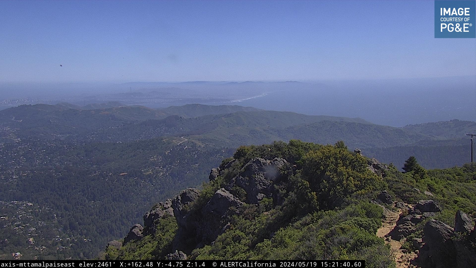
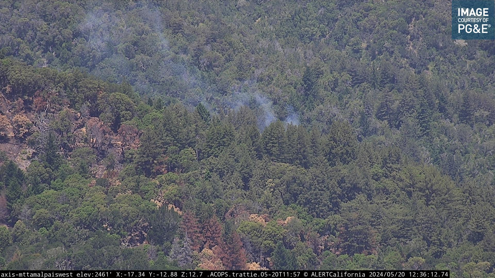
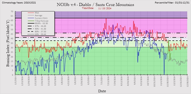
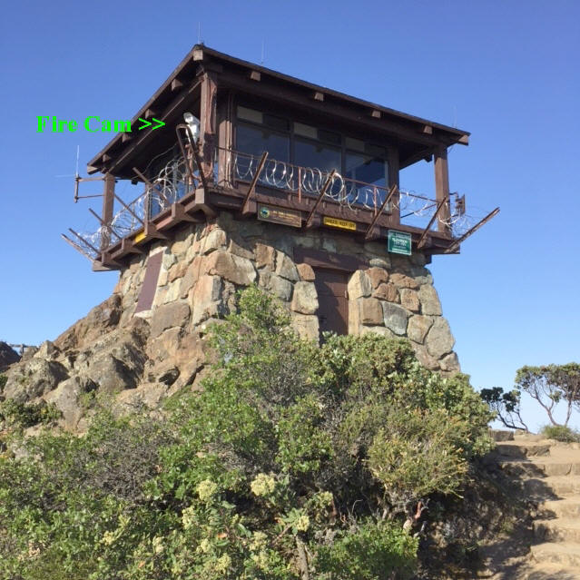
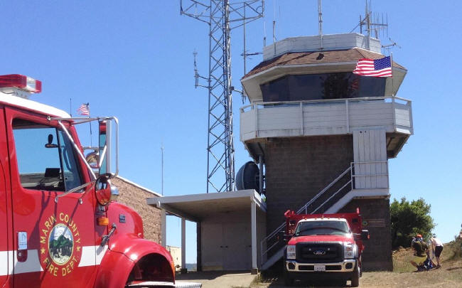
Mt. Tam Lookout fire cam – MCFD
Mt. Tam Lookout fire cam – MCFD
Temperature and humidity

New Weather Station – PGE Middle Peak
Mt. Tam Peak weather: 2,340 ft. elevation
Point Reyes National Seashore – Inverness
Drakes View Peak Inverness – PG@E weather: 1,328 elevation

Pt. Reyes lighthouse cam
Nicasio Hills – Black Mountain peak
Nicasio Hills weather – Elevation 937 ft.
Marinwood – Lucas Valley: Big Rock Ridge
Big Rock Marinwood
PG@E
weather: 1,636 ft. elevation
San Rafael hills – San Pedro summit
Novato Hills – Mt. Burdell
Novato Mt. Burdell – Elevation 1,481′
Sonoma Mountain – 2,450′ elevation
Petaluma – Sonoma hills
Berkeley Hills – Vollmer Peak
Berkeley Cam – looking towards Marin County
PG@E new weather station – Grizzly Peak in the
Oakland Hills – 1,100′ elevation

6 to 10 day temperature outlook

6 to 10 day temperature outlook

Mt. St. Helena weather RAWS station by PG@E
National Weather Service – Northern California weather extremes

Marin County Fire weather extremes – day 1

Marin County Fire weather extremes – day 2
 Marin County Fire weather extremes – day 3 – 8
Drought Monitor

Haines Index – Based on the stability and moisture content of the lower atmosphere that measures the potential for existing fires
to become large fires. Orange will indicate Haines index values of 4 (low), dark orange will show Haines index values of 5 (moderate),
and red will depict Haines index values of 6 (highest potential for large fires). Values of 4 and above are plotted on each map
even though the overall Haines index is from 2 to 6
Burn Index – The BI (difficulty of control) is derived from a combination of Spread Component (how fast fire will spread)
and Energy Release Component (how much energy fire will produced).
BI has no units, but in general it is 10 times the flame length of a fire.


Kim’s Animal Rescue – live cams
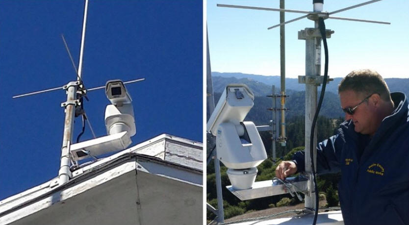
Installation of Marin fire cams – paid for by
PG@E
Website by Doug Kunst (SRV Fire Capt. ret)
SRVFire@gmail.com
.
Popular links:
Mt. Diablo Fire Cams srv San Ramon Valley Danville weather
Marin Fire Cams lookout cameras mountaintop
Southern Cal fire weather and fire cams
Tiburon Cam – Angel Island Webcam Belvedere camera
Mt. Tam Cam – Tamalpais webcam trails maps
Santa Cruz Cam – Monterey webcams
Lake Berryessa Fire Cams boating webcams
Lake Shasta Fire Cams houseboat cam weather
Santa Barbara County Fire webcams
Southern California San Diego County Fire Lookout Cams
Napa Valley Cam – Live Webcam st. Helena cams
San Francisco windsurfing cams
Lake Tahoe Cam ski cams road conditions webcams
Mt. Tam Cam Tamalpais Tamalpias webcam trails maps
Kim’s Animal Rescue – live cams

.
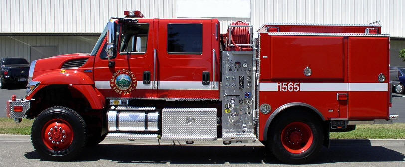
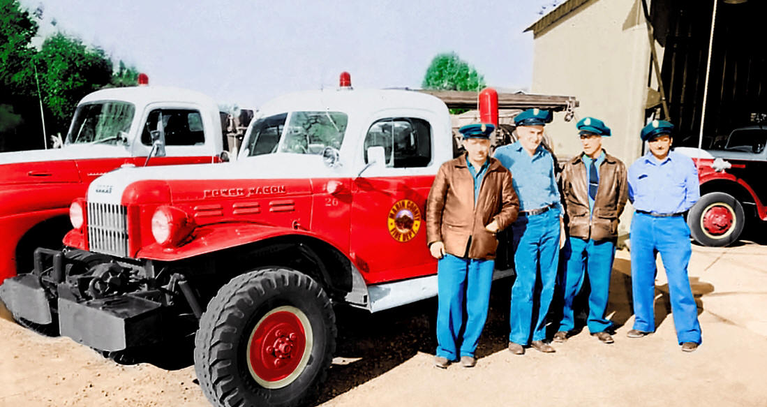 Marin County Fire – Dodge PowerWagon
Website by: Doug Kunst – San Ramon Valley Fire Capt (ret) and MCFD fire lookout
SRVFire@gmail.com