
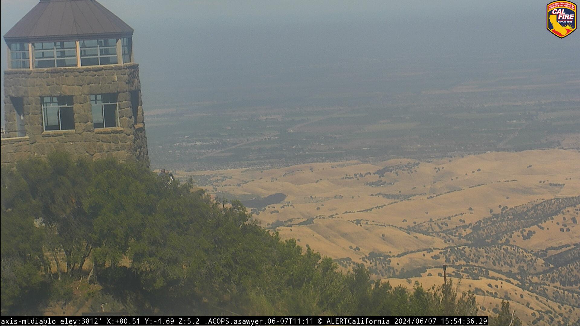
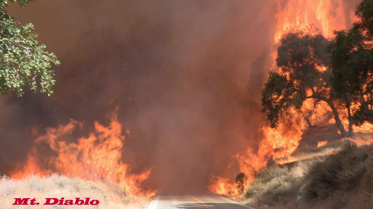
Mt Diablo Cam
Mt Diablo Cam
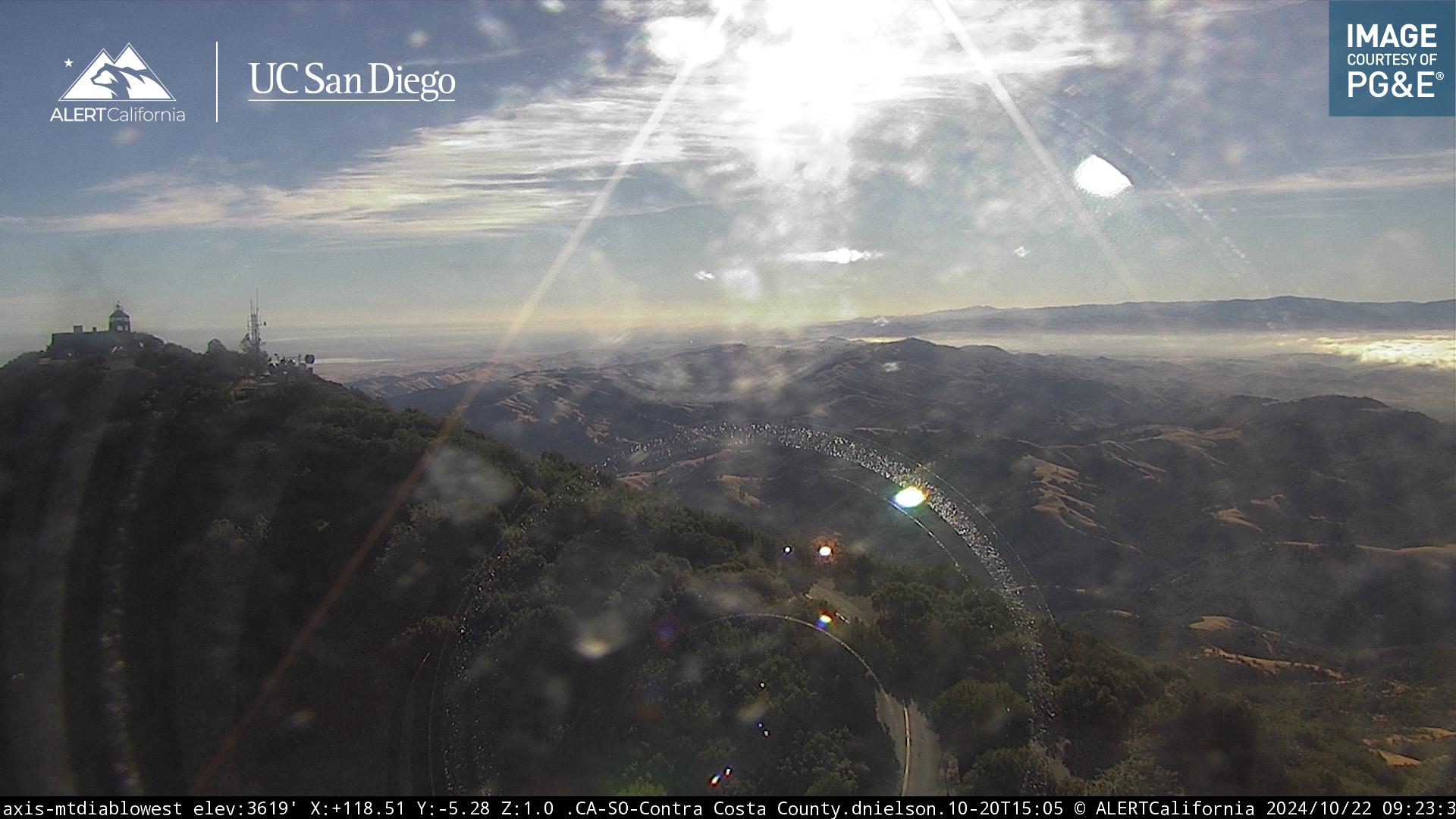
Mt Diablo – North Peak
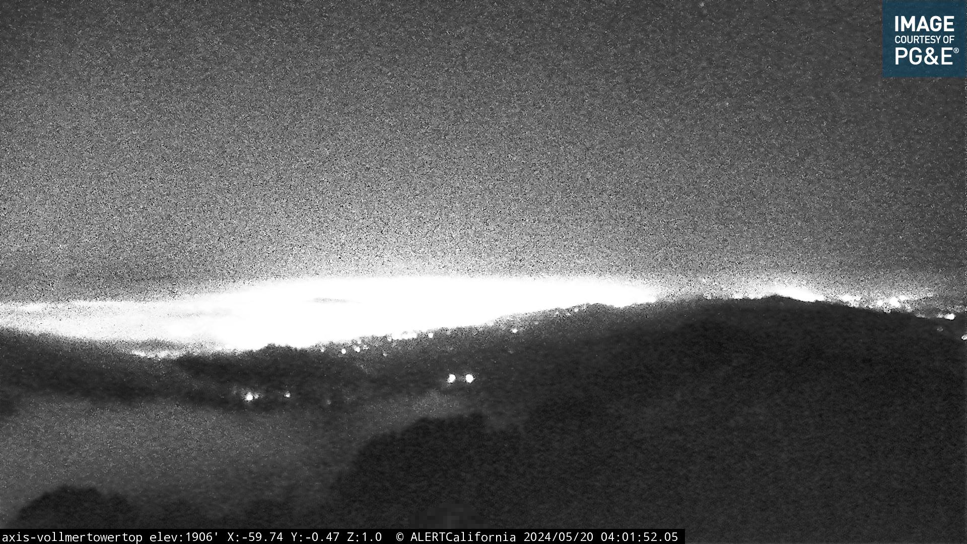 Volmer Peak – Oakland Hills

..
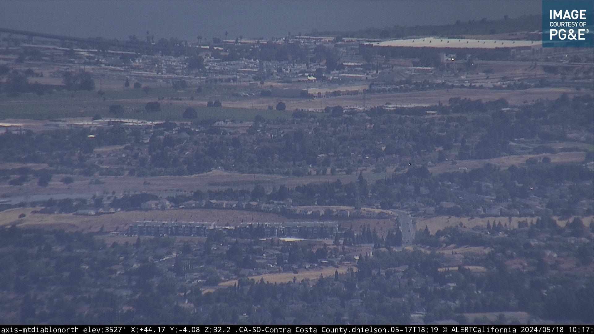
Mt. Diablo Cam – Danville Diablo
Alamo, Danville & Walnut Creek webcam
** Click on image – for live streaming HD video **

WIND SPEED
Blackhawk Ridge fire road – 1,900′ elevation
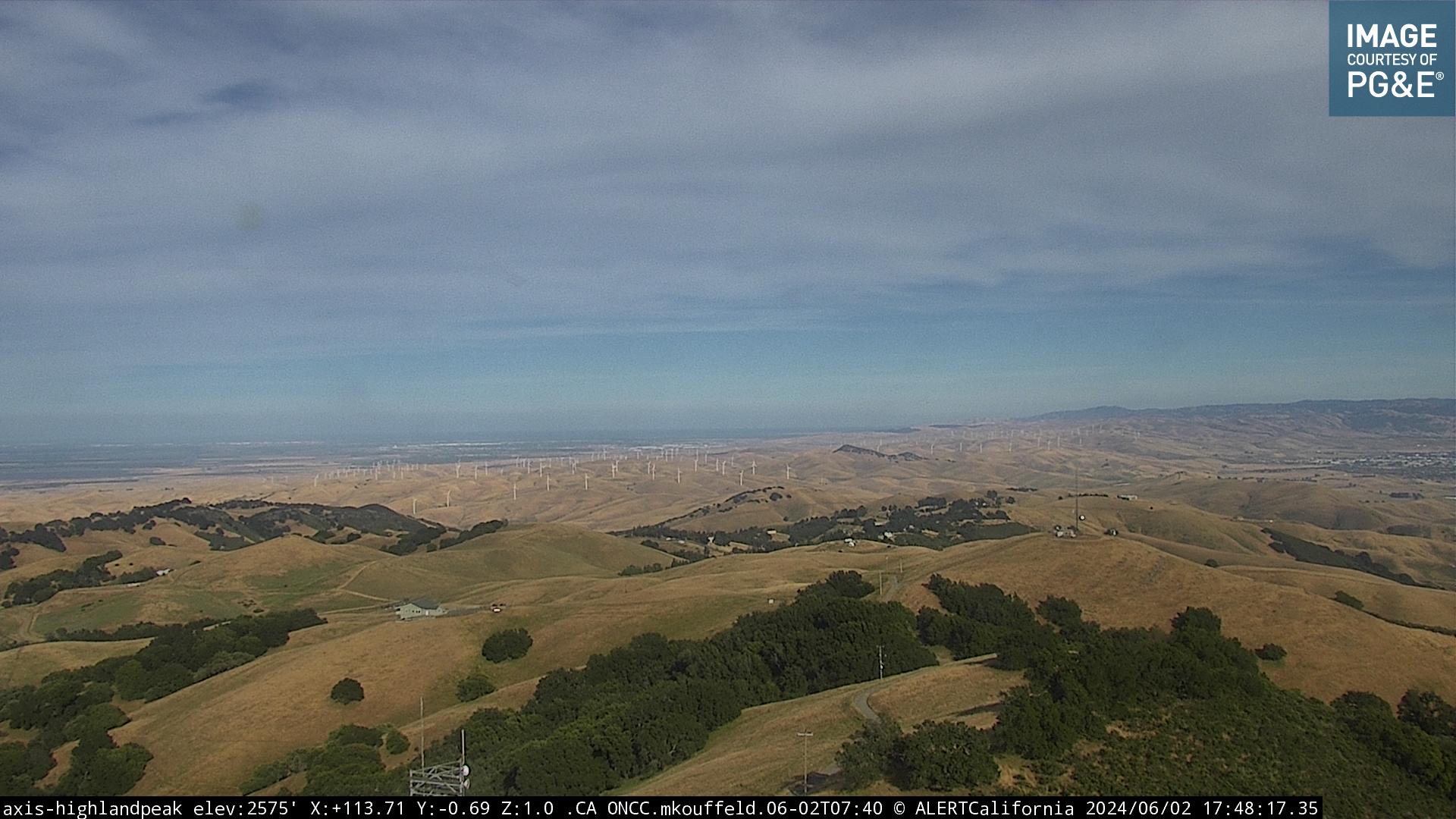 Highland Peak
 Las Trampas Park
 San Ramon – Crow Canyon west hills


680 Traffic Cams
3,849 feet
3,849 feet
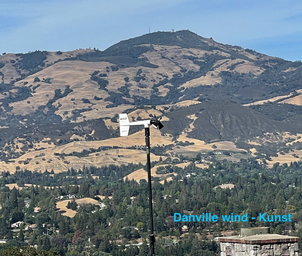
Danville wind and weather – Westside at 700′ elevation

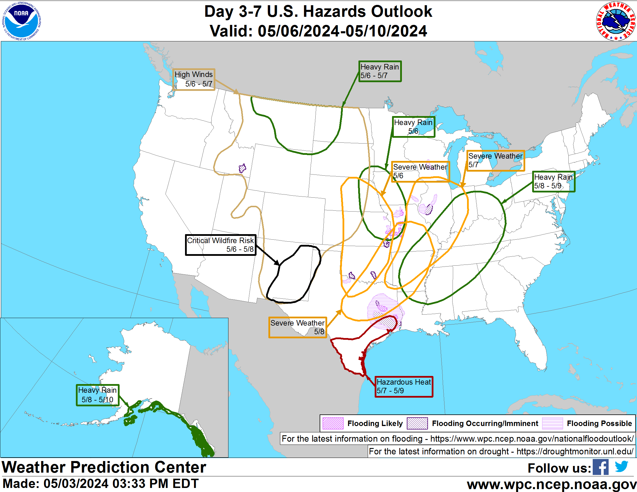
6 to 10 day temperature outlook

Rain forecast – 6 to 10 day outlook

Diablo Country Club
Del Amigo Rd. – SRV High School
Elevation 2,490 ft.
Diablo Country Club area – 900′ elevation
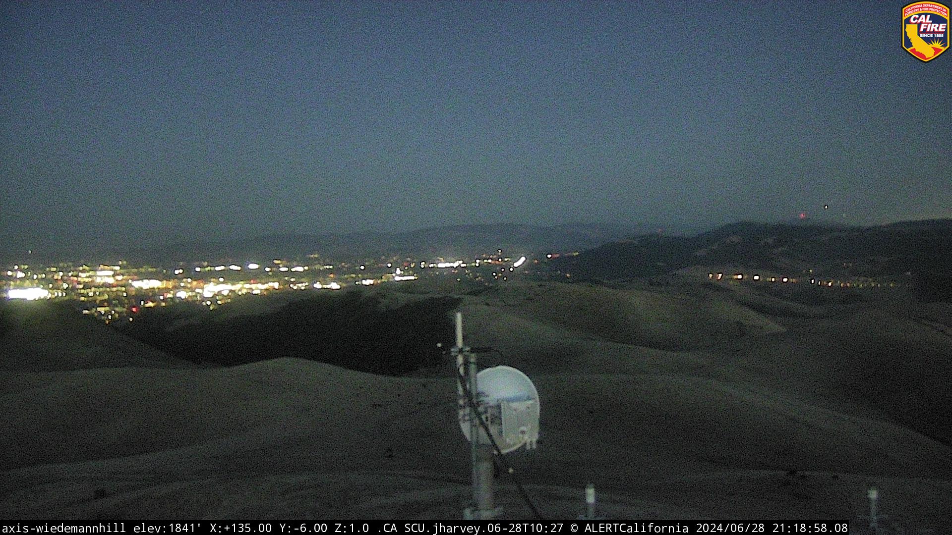
San Ramon – Wiedemann Hill – 1,500′ elevation
Above Caldecott Tunnel – 1,403 feet
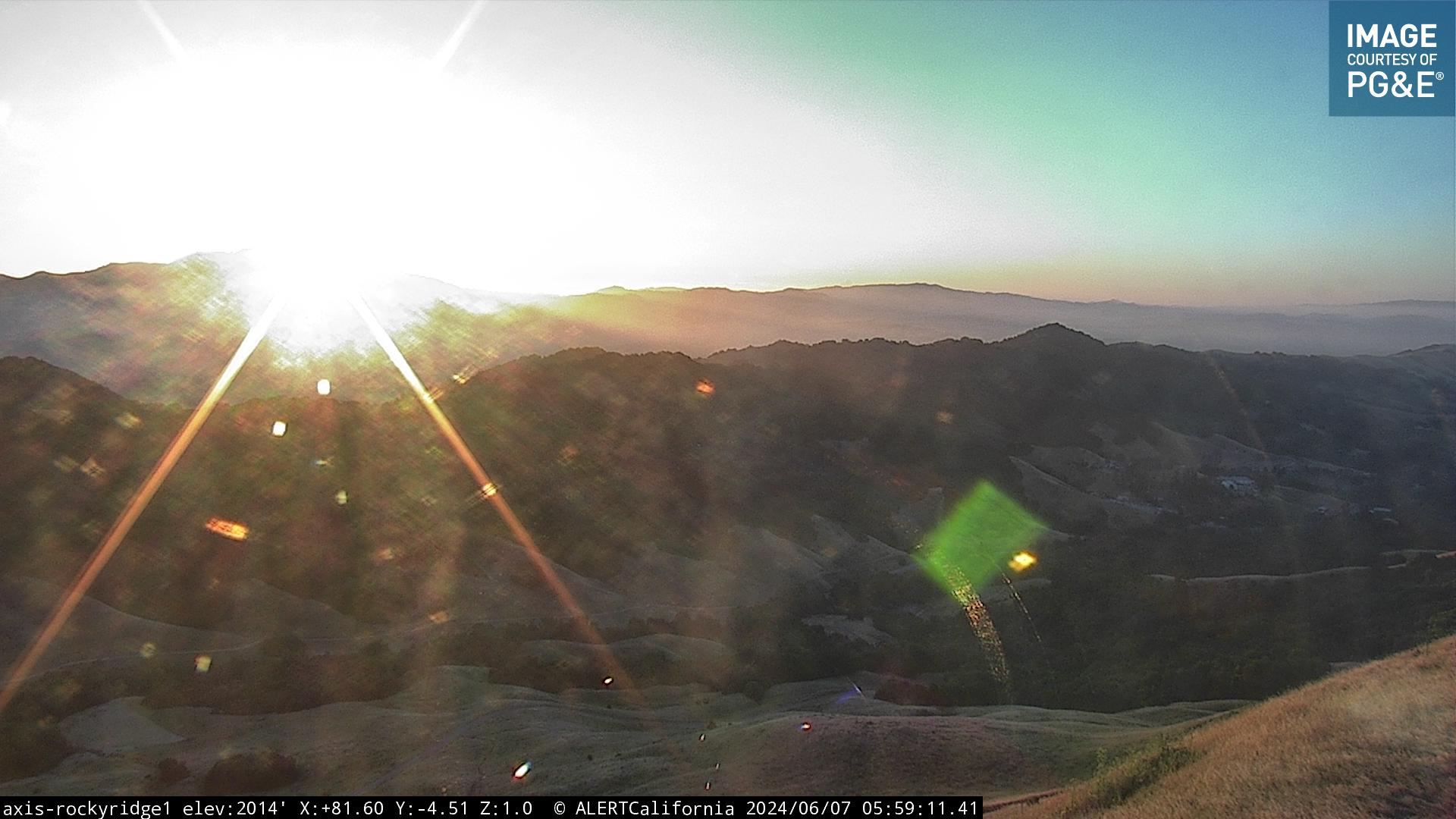
1,760 feet
Altamont – Livermore Hills Wind
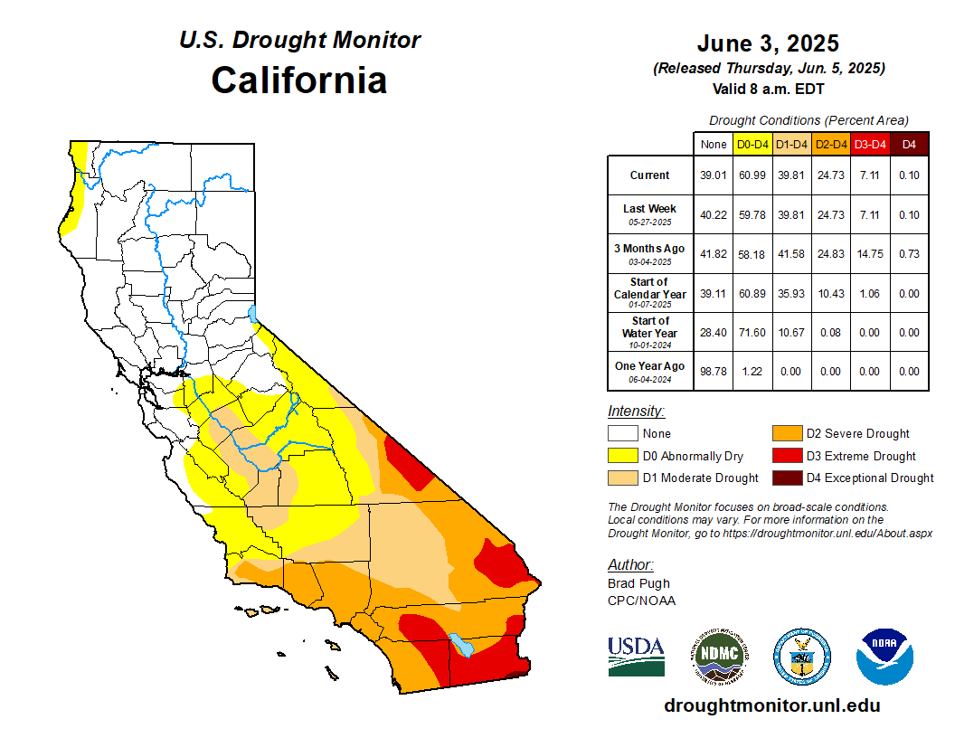
Drought Monitor

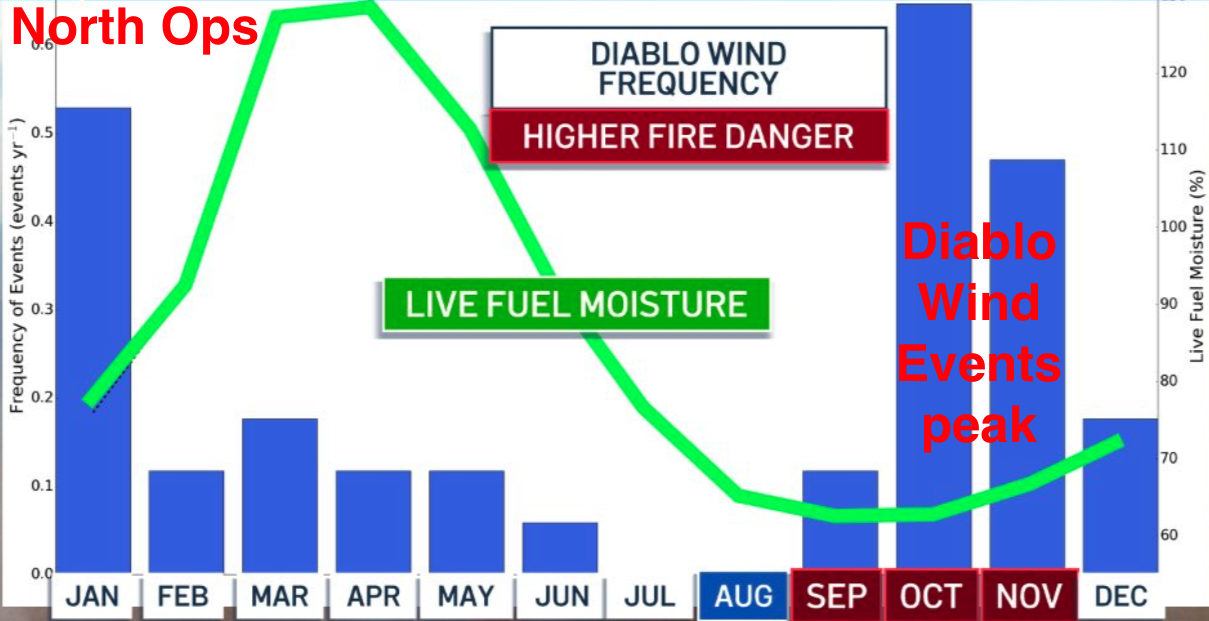
Haines Index – Based on the stability and moisture content of the lower atmosphere that measures the potential for existing fires
to become large fires. Orange will indicate Haines index values of 4 (low), dark orange will show Haines index values of 5 (moderate),
and red will depict Haines index values of 6 (highest potential for large fires). Values of 4 and above are plotted on each map
even though the overall Haines index is from 2 to 6
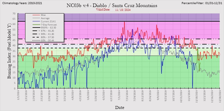
Burn Index – The BI (difficulty of control) is derived from a combination of Spread Component (how fast fire will spread)
and Energy Release Component (how much energy fire will produced).
BI has no units, but in general it is 10 times the flame length of a fire.

Kim’s Animal Rescue – live cams
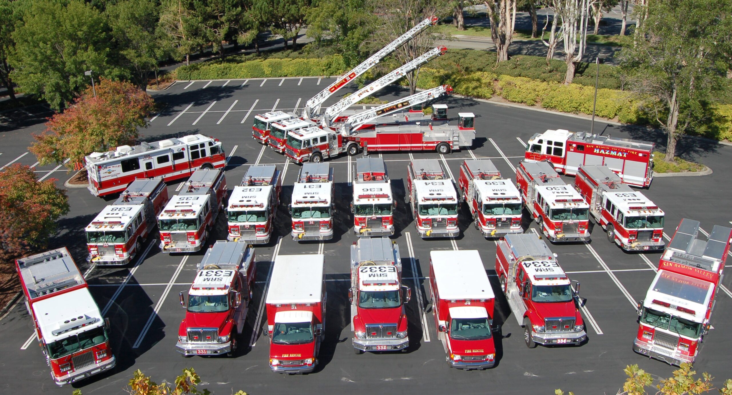
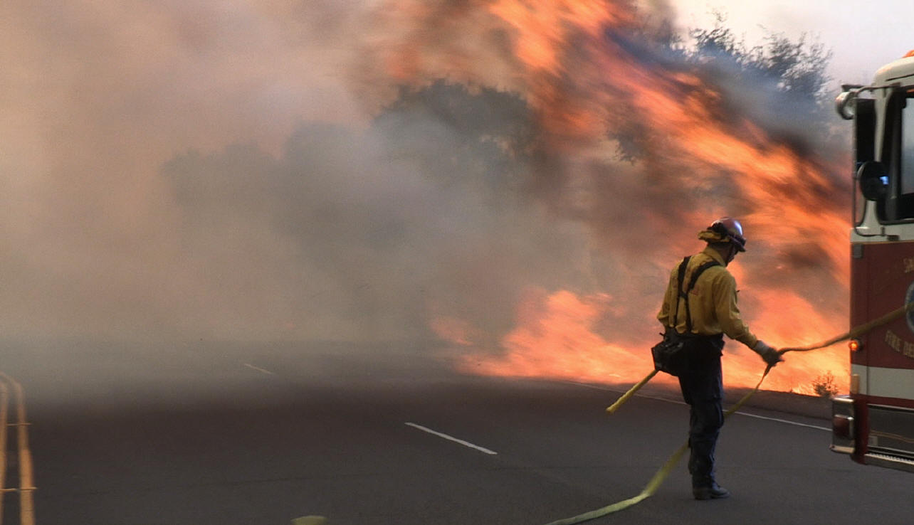

San Ramon Valley Fire
live radio dispatch

San Ramon Valley Fire emergency alerts notifications link
“Nixle Fire Alerts”
Text your
zip code to 888777 and receive real-time alerts and advisories
directly from San Ramon Valley Fire
If you’re texting a zip code to 888777 and using Nixle for the first time, you
can retrieve a temporary password to complete
the registration process. Completing the registration process will allow you to
fully customize how
messages reach you – whether by mobile phone, email, or over the web at www.nixle.com
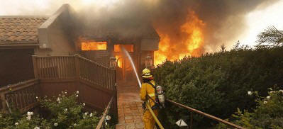
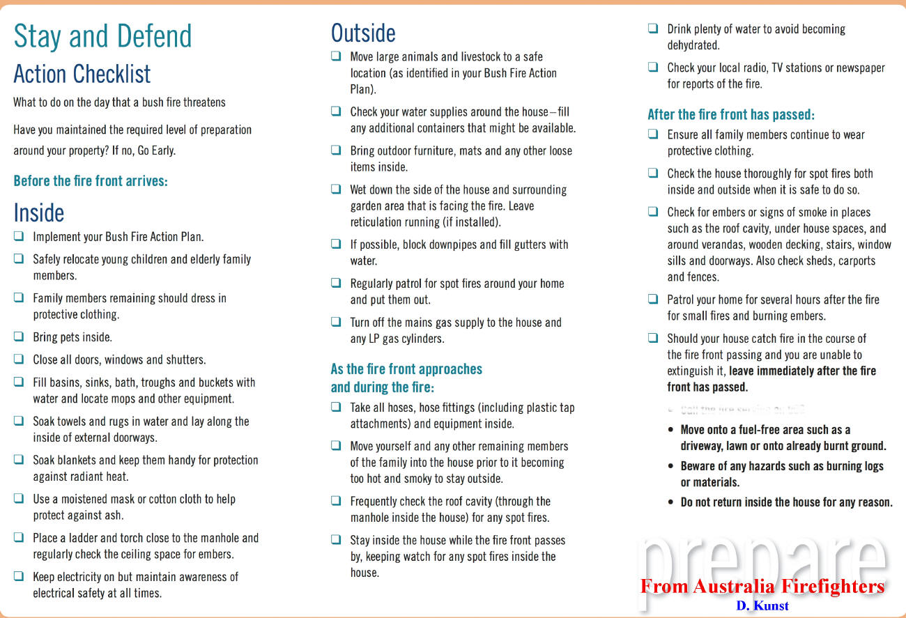
Stay and Defend your home: checklist
These guidelines were going to be implemented in Southern California as a way to save property.
They were not used because of potential lawsuits and danger to the public.
Australia 2009 – Black Saturday Aftermath: Modifying the “Stay and Defend” or “Leave Early” policy to account for the most severe wildfires includes ‘Leaving early is still the safest option’. Australians have long been proud of their fierce self-reliance, which is illustrated by the country’s wildfire policy. Prior to 2009, residents in remote rural areas were urged to evacuate their property if fire threatened, but those who felt they could adequately defend their property were permitted, even encouraged, to do so. This official policy, called “Stay and Defend or Leave Early,” or SDLE, came under intense scrutiny following the worst wildfires in Australian history, which occurred in the southern state of Victoria on February 7, 2009 — “Black Saturday.” Those fires killed 173 people, 113 of them in or near buildings, and called into question the wisdom of the stay-and-defend model. A royal commission was called to examine the circumstances surrounding those fires, and in July 2010 the commission issued a five-volume report of its findings. The report did not recommend the total elimination of SDLE, but asserted that the policy should not apply in severe fire conditions. “The stay or go policy failed to allow for the variations in fire severity that can result from differing topography, fuel loads, and weather conditions,” the report stated. “Leaving early is still the safest option. Staying to defend a well-prepared defendable home is also a sound choice in less severe fires, but there needs to be greater emphasis on important qualifications.”
Popular links:
Marin Fire Cams lookout cameras mountaintop
Southern Cal fire weather and fire cams
Tiburon Cam – Angel Island Webcam Belvedere camera
Mt. Tam Cam – Tamalpais webcam trails maps
Santa Cruz Cam – Monterey webcams
Lake Berryessa Fire Cams boating webcams
Lake Shasta Fire Cams houseboat cam weather
Santa Barbara County Fire webcams
Southern California San Diego County Fire Lookout Cams
Napa Valley Cam – Live Webcam st. Helena cams
San Francisco windsurfing cams
Lake Tahoe Cam ski cams road conditions webcams
Mt. Tam Cam Tamalpais Tamalpias webcam trails maps
Kim’s Animal Rescue – live cams
Website by: Doug Kunst (SRV Fire Capt – ret)